Coastal dunes are more than just scenic sandy landscapes; they are vital ecological barriers that safeguard human communities and support irreplaceable biodiversity. These dynamic interfaces between land and sea serve as natural buffers against storm surges, preventing inland flooding and erosion. Despite their importance, dunes are often overlooked or degraded due to rapid urbanization, pollution, and rising sea levels. The urgency to understand and protect these fragile ecosystems is greater than ever, yet traditional monitoring methods fall short in capturing their complex structure and vibrant life forms. Innovative scientific approaches are needed to elevate our capacity for effective conservation and management.
Advancing Precision Through Cutting-Edge Technology
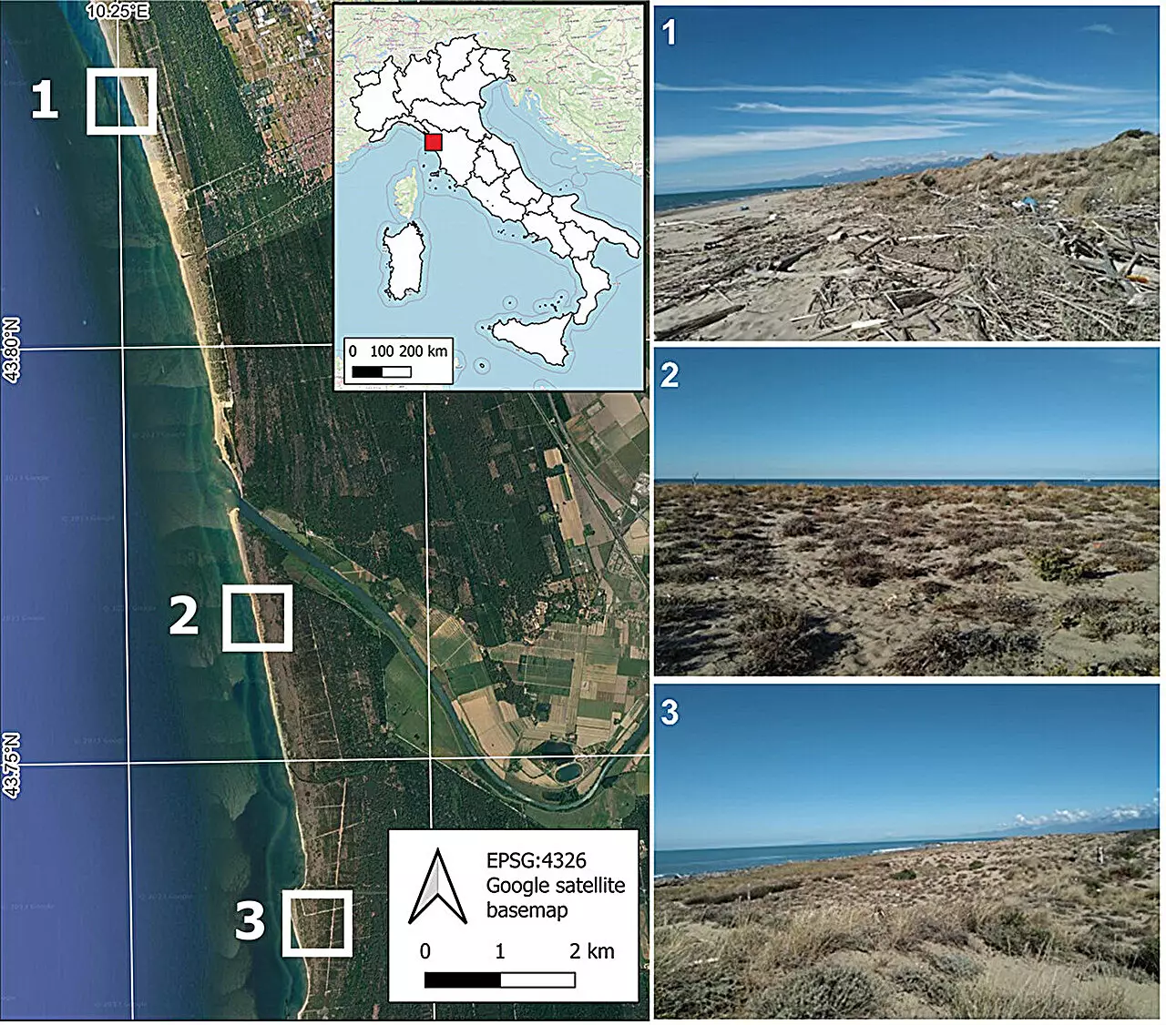
A breakthrough comes from recent research led by Melissa Latella at the Euro-Mediterranean Center on Climate Change. Her team has developed a sophisticated algorithm that leverages ultra-high-resolution multispectral drone data combined with machine learning. This integration allows scientists to identify and classify individual plant species within coastal dunes with remarkable accuracy. Unlike conventional satellite or aerial imagery that provides broad overviews, this method delivers granular insights, enabling detailed mapping at the level of single plants. Such precision transforms our understanding of dune composition, health, and changes over time, providing a powerful tool for targeted conservation strategies.
Implications for Sustainable Management and Conservation
The implications of this technological innovation extend far beyond academic curiosity. Accurate, detailed maps of dune vegetation inform proactive management plans, ensuring that conservation efforts are properly directed and resources are efficiently allocated. For instance, early detection of invasive species or declining native plants can guide intervention measures before irreversible damage occurs. The hierarchical classification approach adopted by Latella’s team also simplifies the complex task of distinguishing between different plant species, making the process feasible for broad-scale application. With a proven overall accuracy of 76%, this method sets a new standard for environmental monitoring and opens avenues for real-time, adaptive management practices.
Empowering a New Era of Ecological Stewardship
What truly distinguishes this research is its potential to elevate coastal ecosystems from neglected landscapes to well-understood and actively managed habitats. It empowers scientists, policymakers, and local communities with actionable data—hallmarks of a truly sustainable approach. As climate change accelerates and coastal pressure mounts, harnessing such cutting-edge technology becomes not just advantageous but imperative. The innovative fusion of remote sensing, machine learning, and field validation exemplifies how science can and should lead the charge in transforming environmental stewardship. In essence, this approach signals a paradigm shift—turning coastal dunes from vulnerable zones into resilient, well-managed ecosystems capable of withstanding modern threats.