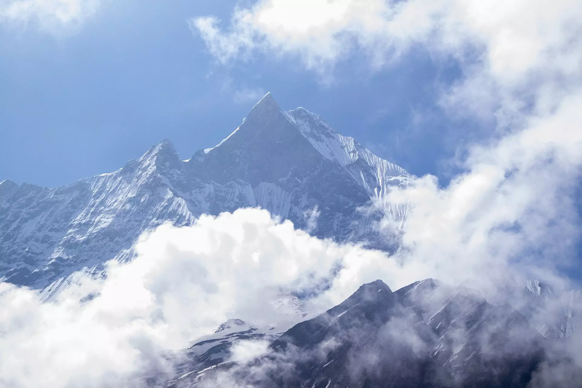
Mount Everest, renowned as the tallest mountain on Earth, stands at 8,849 meters above sea level. Yet, recent research indicates that this iconic peak may be even taller than previously thought due to a fascinating interplay between geological processes. A study conducted by researchers from University College London (UCL) highlights the role of a neighboring river system in influencing the height of Everest through a phenomenon known as isostatic rebound. This article delves into the findings of this study, exploring how erosion contributes to the mountain’s remarkable height and examining the broader implications for our understanding of geological dynamics.
The concept of isostatic rebound explains how changes in the mass of the Earth’s crust can cause significant shifts in land elevation. In the case of Mount Everest, erosion from the Arun River, located approximately 75 kilometers away, has systematically cut into the land, removing vast amounts of rock and sediment over millennia. This erosion results in a reduction of mass on the Earth’s crust, allowing the underlying mantle to exert upward pressure. As a result, Everest is currently rising at an impressive rate of about 2 millimeters each year. Over the past 89,000 years, this gradual uplift has contributed an additional height estimation ranging between 15 to 50 meters.
This interplay of erosion and uplift underscores the dynamic nature of geological processes. Moreover, Everest’s exceptional height compared to its neighbors—like K2, Kangchenjunga, and Lhotse—can be attributed to the enhanced uplift driven by the erosional activities of the nearby river systems. While other peaks within the Himalayas experience similar geological forces, none rival Everest’s elevation, which is exacerbated by its proximity to significant erosional landscapes.
The distinct topography of the Everest region, characterized by the Arun River transitioning from a high-altitude valley to a steeper southward course—into the Kosi River—exemplifies the vital role river systems play in shaping mountainous landscapes. The merging of these rivers initiated a process called drainage piracy around 89,000 years ago, allowing for enhanced water flow and sediment displacement. This increased erosive power fundamentally altered the landscape, deepening the gorge and facilitating greater rates of uplift.
The research team, consisting of experts from UCL and the China University of Geosciences, investigated the geological changes resulting from this river activity. Their findings formulate a compelling narrative about the evolution of the Himalayas, where water is not merely a passive element but a potent force capable of reshaping formidable geological structures. The Arun River’s ability to remove billions of tons of sediment exemplifies not just the efficacy of water in eroding terrain but also its significant implications for mountain uplift.
The implications of the study extend beyond Mount Everest to neighboring peaks, including Lhotse and Makalu, both of which also experience similar rates of uplift due to isostatic rebound. This burgeoning knowledge of mountain dynamics enhances our understanding of how the Earth’s surface evolves and challenges preconceived notions about static geological formations. The ability to measure such uplift using GPS technologies provides solid evidence of these changes over relatively short geological timeframes.
It is important to note that while erosion and uplift interplay to raise the mountains’ heights, this natural cycle also emphasizes an equilibrium that defines mountainous terrains. As certain areas like Everest rise, they do so in contrast to ongoing erosional processes that work to wear them down. The intricate balance between these opposing forces underscores the delicate equilibrium that governs geological landscapes.
The findings of this research bring a new perspective to how we understand Mount Everest and its surrounding topography. The continuous growth of Everest, although gradual, reminds us of the Earth’s ever-changing nature and the myriad forces at play that shape our planet. This study not only validates the mountain’s astonishing height but also serves as a call to appreciate the complex geological mechanisms that contribute to the majestic landscapes we often take for granted. As we continue to explore the Earth’s surface, we are compelled to reconsider our understanding of geological timeframes and the transformative processes underlying the lofty peaks that define our world. The heights of Mount Everest, fueled by ongoing erosional activity and isostatic rebound, represent a dynamic interplay of Earth’s elements—creating a living monument of natural wonder.